
WDFW/ODFW Martorello/Brown, perhaps you should educate yourselves, and begin recognizing that you need to manage our resources based on science, and not Ranchers…. to alleviate or stop depredation…. remove the cows from the problem areas or ban grazing altogether! You have now proven these studies 100% accurate…. However your failure to manage our resources in the best interest of the public not just the Rancher is a crime and will begin to be addressed as such!
Risk map for wolf threats to livestock still predictive 5 years after construction
Abstract
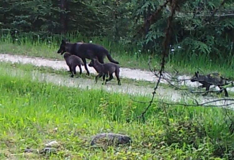
Risk maps are spatial models of environmental hazards such as predation on livestock. We tested the long-term validity of a published risk map built from locations where Wisconsin wolves attacked livestock from 1999–2006. Using data collected after model construction, we verified the predictive accuracy of the risk map exceeded 91% for the period 2007–2011. Predictive power lasting 5 years or more substantiates the claim that risk maps are both valid and verified tools for anticipating spatial hazards. Classification errors coincided with verifier uncertainty about which wolves might be responsible. Perceived threats by wolves to domestic animals were not as well predicted (82%) as verified attacks had been and errors in classification coincided with incidents involved domestic animals other than bovids and verifier uncertainty about which wolves were involved. We recommend risk maps be used to target interventions selectively at high-risk sites.
Introduction
Risk maps are predictive models with spatial components that distinguish locations by the probabilities that an environmental hazard occurs there. Risk maps have attracted growing interest in various environmental and crime prevention fields [1–4], because the algorithms and spatial data needed to build and validate them have become more available and sophisticated. The sophistication has permitted investigators to verify that risk probabilities are valid and truly predictive. True verification using data that were not included in model construction remains a rare but valuable step for the external validation of risk maps.
Here we test the hypothesis that a risk map has predictive power up to 5 years beyond its construction date. We built a risk map of gray wolf (Canis lupus) predation on cattle using 133 verified attacks in Wisconsin, USA, from 1999–2006 [3]. In that publication, we verified that risk map with 60 additional incidents from 2007–2009, which had not been used in model construction (Fig 1A). The risk map correctly predicted 88% of those new sites were high-risk [3]. Here we take one step further to evaluate quantitatively if the risk map had predictive power through 2011, using 122 additional locations statewide, which accumulated after publication of [3]. We also examine patterns of errors
Source: Risk map for wolf threats to livestock still predictive 5 years after construction. – PubMed – NCBI